The DEFRA Magic database holds a wide range of information on land use. Here are some extracts relevant to Sable Wood and its neighbourhood.
 Areas designated as heathland
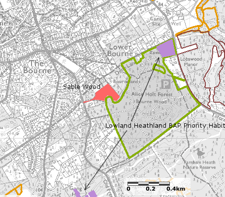
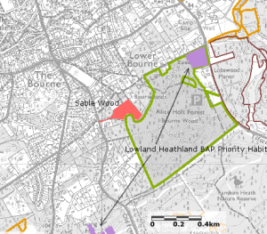
Lowland heathland is a priority habitat under the UK’s Biodiversity Action Plan. In the neighbourhood of Bourne Wood there are small and fragmented areas of lowland heath (marked as purple on the accompanying map). Sub-compartment Com 1 within Sable Wood contains some heath. Though small it is known to provide a home for adder and slow-worm.
 Areas designated as deciduous woodland

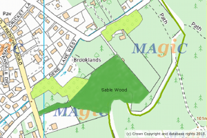
Areas shown light green are designated as deciduous woodland. On the ground, Scots pine is the dominant species in much of these areas and it is difficult to discern the reason for the separate designation. Over time Sable Wood will evolve towards true deciduous woodland.
 Countryside and Rights of Way Act 2000

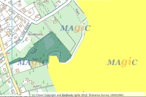
The 2000 Act gives a general right of access to large areas of publicly-owned land, including much of Forestry Commission estate. The area shaded yellow shows where the Act applies. Sable Wood lies outside the area covered by the Act. The fact that there is no right of access away from the designated public footpaths is an important contributor to realising the objective of making Sable Wood an area where wildlife has priority.
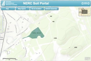 Height contours

The accompanying map is from the NERC website of the Natural Environment Research Council (NERC). Contour lines are at 10m intervals.